on
Rush Creek to Gem Lake
Rush Creek Trailhead
I had never hiked the Rush Creek trail despite having driving the June Lake Loop many times over the years. Emily and I were using a permit I had originally pulled to attempt a climb of Mount Lyell. Instead we set our sights on a easy walk up to Gem Lake to spend some time in the backcountry.
After passing behind the campground and some ranch buildings, the tail begins climbing quickly. It’s a steady uphill with little shade, but the views of Silver Lake and Reversed Peak are nice. The most interesting part of this section of the trail is a primitive tramway that is crossed multiple times. The tramway was built all the back back in 1915 to service the Agnew and Gem Lake dams higher up Rush Creek. The dams and powerplant are still there and in operation by Southern California Electric. Apparently they still use the tram today! The Archeaeology Channel has a great overview of the history of this interesting piece of the eastern Sierra.

The Agnew Tramway
Topping out at the top of the switchbacks, we were presented with a view of the industrialized Agnew Lake. The dam, outbuildings, and power infrastructure make this feel very much not part of the backcountry. We quickly continued along the trail, climbing another five-hundred feet up to Gem Lake.
Gem Lake
Atop the Gem Lake dam, we were finally greeted with a view of the backcountry. From here, the peaks of Ritter Range are visible with the ridge from Rodgers Peak to Mount Lyell, high point of Yosemite National Park, front end center. Lyell looked a long way off from here, and I was very glad to be camping nearby instead.

Rodgers Peak and Mount Lyell from Gem Lake, Ansel Adams Wilderness, Inyo National Forest, California
We contoured around the north short of the lake for a bit before finding a use trail that took us out a peninsula and down a bit closer to the water. Unfortunately, access to the water is difficult from pretty much everywhere along this trail. We ended up camping high on the peninsula, making up for the lack of easy water access with a pocket view of the summit of Rodgers Peak.
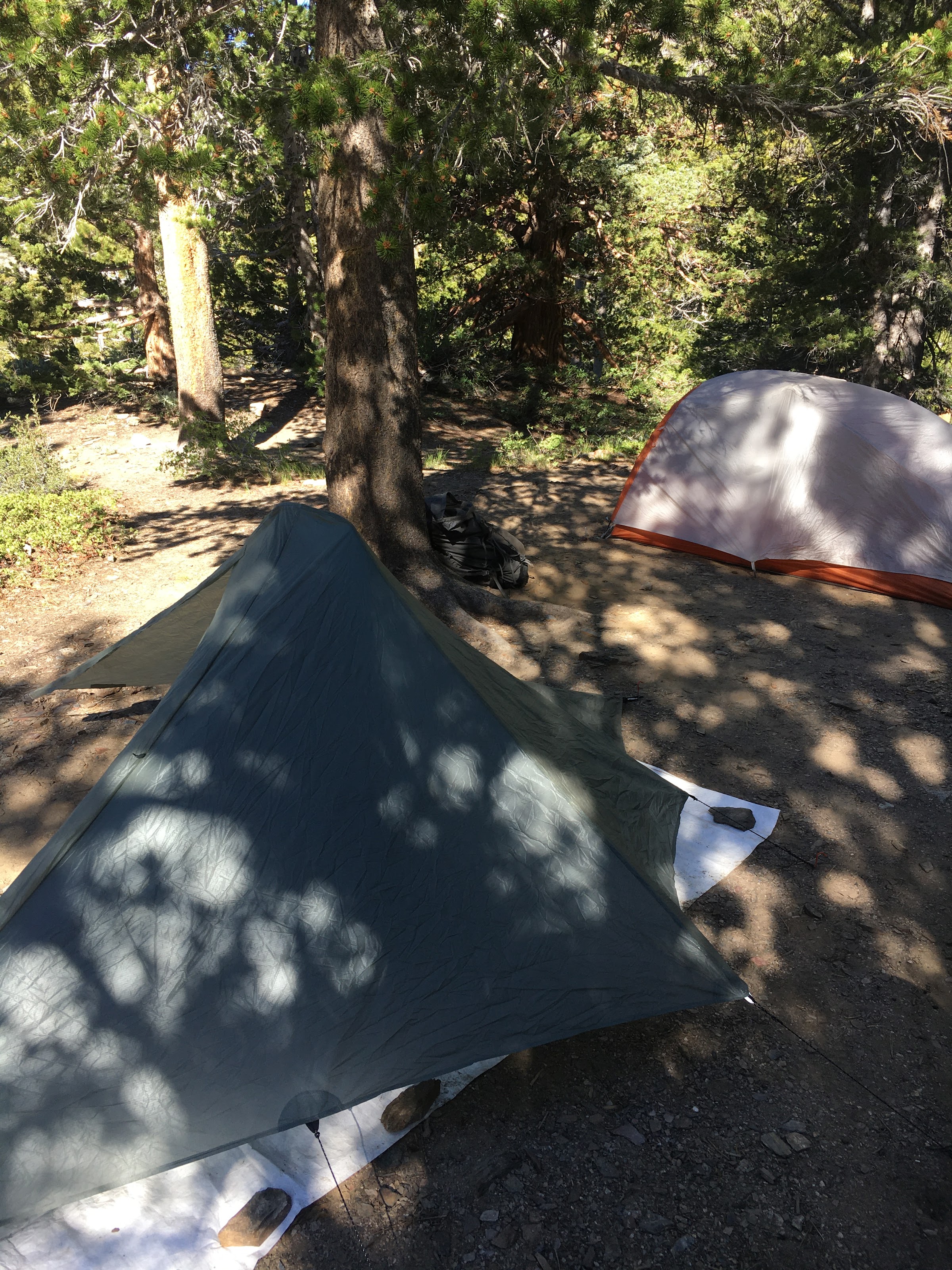
Our camp at Gem Lake
We hiked back out the next morning. Overall, while the history of this area is quite interesting, there are much nicer hikes to be had in the Sierra.